ICEYE Adds FloodID Predictive Flood Modeling
ICEYE FloodID predictive flood modeling adds forecast capabilities for US governments, insurers and emergency management organizations.
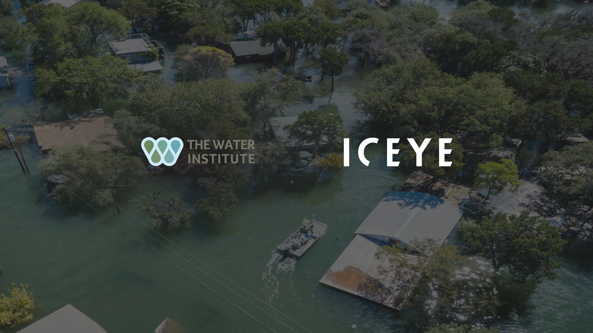
ICEYE has partnered with The Water Institute to bring the FloodID predictive flood intelligence platform and its core development team into its US flood intelligence offering. FloodID combines physics-based hydrologic modeling, physics-guided artificial intelligence, Earth observation data and cloud computing to model how flooding may develop from onset through recession. The combined offering is intended for governments, re/insurers and emergency management organizations. ICEYE’s Flood Early Warning service provides up to 96 hours of advance notice, while its satellite products provide flood extent, water depth and building-level damage intelligence within hours of an event.
Observation Informed Flood Forecasts
Developed by The Water Institute and built on Amazon Web Services, FloodID adds place-specific predictive modeling to ICEYE’s satellite-based flood observations. The system is designed to update predictions as new satellite data becomes available during an event, giving users a refreshed view of flood conditions and likely progression.
ICEYE’s synthetic aperture radar constellation can collect information through cloud cover, heavy rain and darkness. Its Flood Rapid Impact and Flood Insights products support assessments during active events, while FloodID extends the workflow into predictive planning and response.
Will Panchaud, Senior Director of Product, Solutions at ICEYE, said:
“ICEYE has built its flood intelligence platform around delivering trusted information throughout every stage of a flood event, from early warning through active response and post-event assessment. FloodID adds another important dimension to that capability by strengthening our predictive intelligence. Together, we’re giving customers an even richer understanding of what may happen next while continuing to deliver the observed flood intelligence they’ve come to rely on.”
Louisiana Platform Expands
FloodID was originally developed to support emergency managers in Louisiana. It now supports operational deployments and pilot programs with government agencies and emergency management organizations across multiple geographies.
The arrangement follows prior operational work in which The Water Institute used ICEYE’s Flood Rapid Impact and Flood Insights products. Researchers identified an opportunity to combine observed satellite data with predictive flood models in a single operational workflow.
Beaux Jones, President and Chief Executive Officer at The Water Institute, said:
“This partnership represents the next chapter for FloodID and the communities it serves. FloodID was born out of Louisiana’s flood challenges with a clear purpose: to put better, faster, more localized flood information into the hands of the people making decisions when lives and property are at risk. Through our partnership with ICEYE, that innovation now has the opportunity to reach more communities at the critical moments when better information can make all the difference.”
Predictive Intelligence Leadership
Hugh J. Roberts, who led FloodID at The Water Institute, joins ICEYE as Head of Predictive Intelligence. He will lead go-to-market efforts for predictive intelligence within ICEYE’s Solutions organization.
Hugh J. Roberts, incoming Head of Predictive Intelligence at ICEYE, said:
“For the last several years, we’ve focused on developing predictive flood intelligence that helps decision-makers act earlier and with greater confidence. FloodID was designed to complement Earth observation. By combining predictive hydrologic intelligence with ICEYE’s unparalleled SAR intelligence and global operational platform, we can deliver more comprehensive decision support that helps organizations prepare earlier, respond faster and recover more effectively.”
Flood Intelligence Across Events
The partnership combines forecasting and satellite observation across flood preparedness, active response and recovery. ICEYE said the observation-informed forecast will update throughout an event as new satellite observations arrive, rather than relying on a single forecast established at the outset.
Jeffrey Schweitzer, Amazon’s disaster relief technology and innovation lead, said:
“From Louisiana to Texas and beyond, we’ve watched flooding become harder to predict: atmospheric rivers dropping 30 inches of rain, storm surge colliding with inland flooding, and thousand-year floods arriving with unsettling frequency. This collaboration can help communities across many states prepare in advance. Better information means communities are ready before the water rises.”